
Qu’Appelle River Watershed Updates
Qu’Appelle River Watershed Updates
Updated July 27, 2026
Summary of watershed condition and operation plan
- Most of the lakes in the Qu’Appelle system are above or within their summer operating ranges.
- Last Mountain Lake is about 18 cm above the top of its summer operating range. The lake is receding slowly with the Craven structure fully open.
Buffalo Pound Lake
- The Qu’Appelle River Dam release is 4.5 m3/s. This flow is expected to be maintained, and no operation is planned at this time.
- Inflow to the Buffalo Pound Lake is 3.3 m3/s
- Buffalo Pound Lake is at 509.5 m, which is 3 cm above the top of the summer operating level (509.47 m), and has been steadily declining since early July.
- There is currently 3.0 m3/s outflow from Buffalo Pound Lake.

Wascana Lake
- The water level of the Wascana Lake at Marina is at 570.55 m, close to the required summer target elevation (570.52 m).
- No further operations are planned at this time.
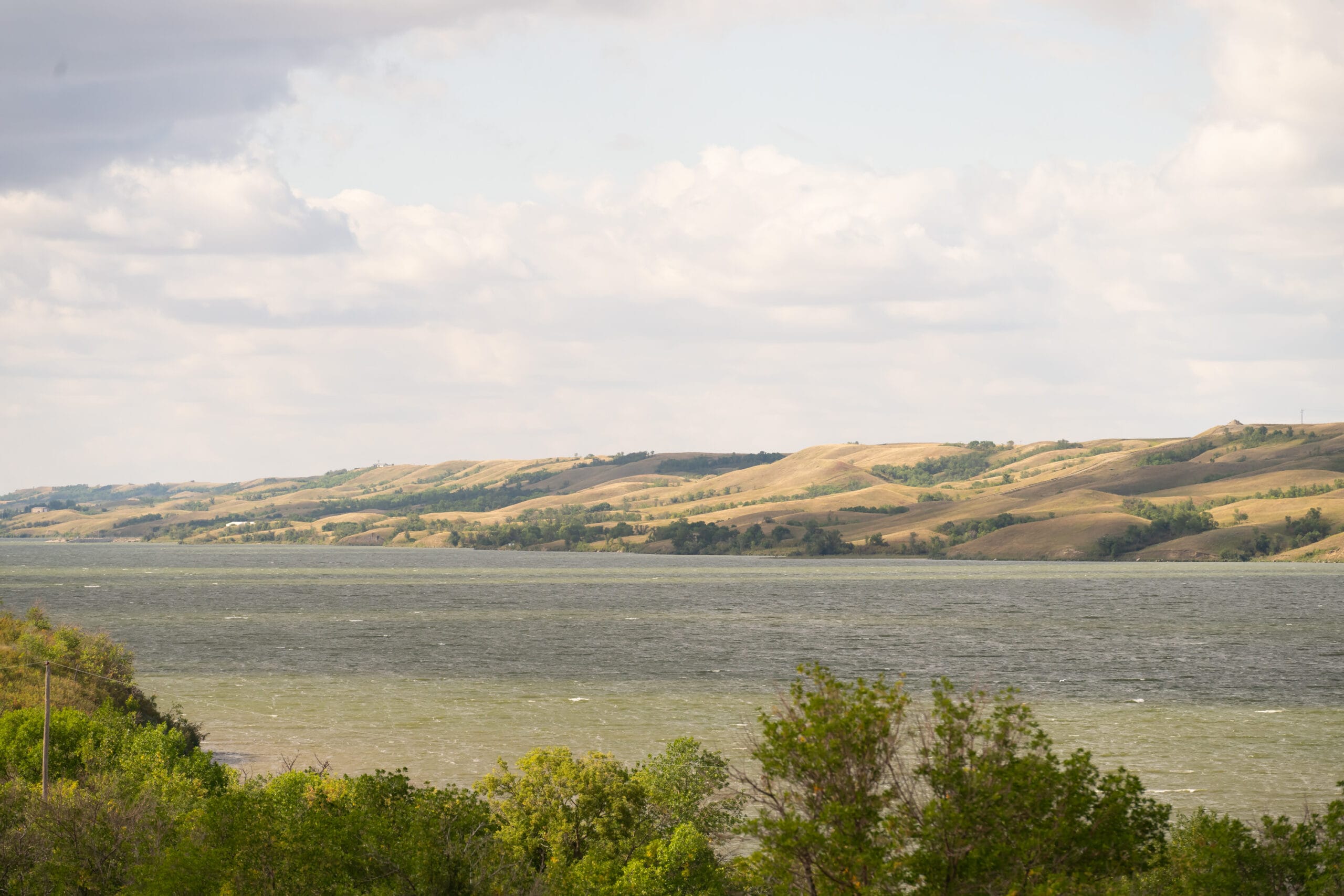
Craven – Last Mountain Lake
- Last Mountain Lake is currently at 490.45 m, which is 18 cm above the top of the summer operating range (490.27 m). Despite fluctuations over the past month, the lake has been gradually receding, but the decline remains slow even with the Craven Dam gates fully open.
- Outflow: about 12.6 m3/s to the Qu’Appelle River from the Last Mountain Lake
- Qu’Appelle River near Lumsden is about 3.4 m3/s
- Release from the Craven Control structure: 16 m3/s
- Inflow from the northern tributaries to Last Mountain Lake—Lanigan Creek—is about 4 m³/s. Although small, these flows remain well above normal for this time of year
- No operations are currently planned for this structure in the near future.

Pasqua – Echo Lake
- Pasqua and Echo lakes are currently at 479.12 m, which is 3 cm below the top of the summer operating level (479.15 m), but still at the upper end of the operating range.
- Minor adjustments by adding a few stop logs are expected to help maintain the lake level and operation is planned late this week.

Mission – Katepwa Lake
- Mission and Katepwa lakes are currently at 478.46 m, which is 8 cm above the top of the summer operating range (478.38 m).
- Current release is 8 m³/s, and outflow from the lake continues to be constrained by backwater effects. This release has helped draw Katepwa Lake down slightly and has supported maintaining levels at Crooked Lake.

Crooked Lake
- Inflows to Crooked Lake are about 20 m³/s, which is well above normal for this time of year, resulting in the structure being fully opened to pass flow.
- Due to ongoing structural and operational constraints, the summer target level for the Crooked lake is towards the bottom end of its operating range (471.41 m).
- The current water level at Crooked Lake is 451.63 m and no operations are planned for this week.

Round Lake
- The water level of Round Lake is 442.29 m.
- Although the lake is currently within its operating range, the inability to operate the control structure means Round Lake will continue to decline gradually and is expected to be near the bottom of the desirable operating range later in the summer.

Meteorological Condition
Observed:
No significant rain has occurred in the basin over the past week.
Forecast:About 10–20 mm of precipitation is expected across most of the basin over the next seven days. Its impact will be limited under hot summer conditions.
Seven‑day total precipitation (mm) across the Qu’Appelle River Basin:

Forecasted total precipitation (in millimeters) for the upcoming seven days, based on the Canadian GEM model:

An Experienced Team
We love our Saskatchewan waterways, and we also know a lot about them. If you need help finding information or determining if your shoreline or water-related project needs a permit, we can help! Use the contact form or give us a call to get started.