
WSA Crater Lake

WSA Crater Lake
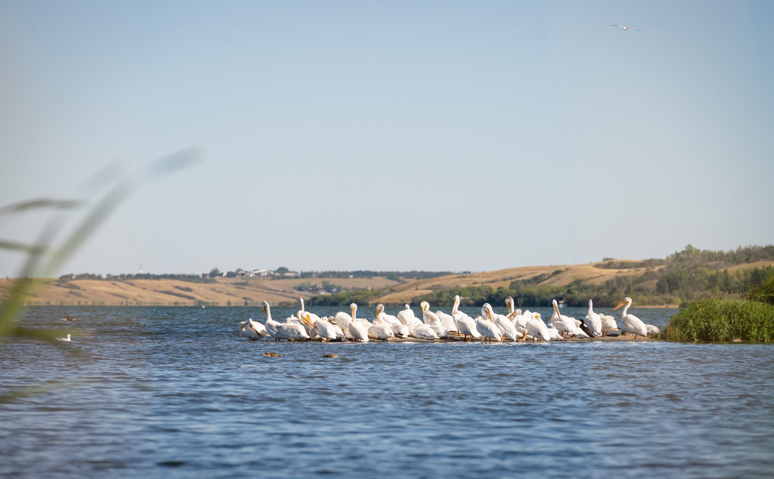
Observation well WSA Crater Lake was constructed in 1971 to a depth of 11.58 metres in Battleford Formation till to observe natural groundwater level fluctuations in a shallow till. It is located south of Yorkton adjacent to Crater Lake to which it is believed to be hydraulically connected. The water level in the well remains above the lake level throughout the year indicating that groundwater discharges into the lake.
The hydrograph shows strong seasonal variations, which in some years may be well over a metre, but in other years can be significantly less. Minimum water levels typically occur in late winter/early spring, while maximums typically occur in May-June. The minimum water level of about 517.4 metre occurred in 1981/82 while the well reached a record high water level of over 522.5 metres in 2013.
Water obtained from WSA Crater Lake is of the calcium-sulphate type and has a sum of ions concentration of approximately 2946 mg/L.
Crater Lake ~ NW08-02-23-04 W2
A Knowledgeable Team
We’re serious about clean drinking water and wastewater management, and we’re also really knowledgeable about it! When you have questions about something as important as water quality, you want to get the right answers. If you need help finding or interpreting information, our team is here to help. Use the contact form or give us a call to get started.